

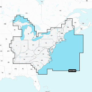
$212.49$249.99per unit
1
Secure Checkout
Shipping Available
Fast Processing
This item is currently out of stock.
Special order from Navionics — Estimated 2–4 weeks.
Description
Platinum+ NPSA011R - South America North
Get the world’s No. 1 choice in marine mapping - with the best, most up-to-date Navionics+ cartography on a compatible chartplotter.
For offshore or inland waters, this all-in-one solution offers detail-rich integrated mapping of coastal waters, lakes, rivers, and more. Get SonarChart™ 1’ (0.5 meters) HD bathymetry maps and advanced features such as dock-to-dock route guidance technology, live mapping, and Plotter Sync to provide wireless access to daily updates.
The Navionics Chart Installer software also ensures the freshest chart data every time. Navionics dock-to-dock route guidance solutions suggest a path to follow through channels, inlets, marina entrances, and more. Multiple shading options aid in shallow-water navigation and make it easy to highlight a target depth range for the best fishing spots.
Navionics Platinum+™ charts include all the content of Navionics®+ cartography, with integrated offshore and inland mapping, 42,000+ lakes and additional viewing options for relief shading, satellite imagery with SonarChart shading overlay, 3D perspective view, aerial photos, and more.
Chart Code: NPSA011R
Coverage Area:
Detailed coverage of the entire coast of Panama including the Canal. Coastal coverage of Peru, Ecuador, Columbia, Venezuela, Trinidad and Tobago, Guyana, Suriname, and French Guiana.
Features:
- Coastal Content - Offers detail-rich integrated mapping of coastal waters, lakes, rivers, and more
- Inland Content - 44,000+ lakes
- Detailed Nautical Charts - Comprehensive charts are derived from multiple officials, government, and private sources, displayed in a familiar look and feel
- SonarChart HD Bathymetry - Innovative 1' (0.5 m) bathymetry charts are created by using Navionics proprietary systems that augment existing content with sonar data con
Accessories
No accessories listed for this product.
Specifications
| SKU | 010-C1460-40 |
| UPC | — |
| Brand | Navionics |
| Category | Cartography |
| Country of Origin | — |
| Weight | — |
| Dimensions | — |
| Status | Active |
| Last Synced | 8/17/2026, 1:12:56 AM |
Compliance & Shipping
Non-Returnable
Product Literature
Customer Reviews
0.0
0 reviews
5
0
4
0
3
0
2
0
1
0
Only customers who purchased this item can write a review.
No reviews yet. Purchased this item? Be the first to review it.
Frequently Bought Together
Compare Key Features
| Feature | 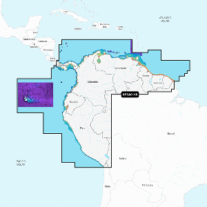 Navionics Platinum+ NPSA011R - South America North CURRENT |  Navionics Platinum+ NPSA010R - Central America & Caribbean |  Navionics Platinum+ NPSA012R - Brazil | 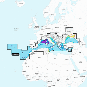 Navionics NPEU643L - Mediterranean & Black Sea - Navionics Platinum+ |
|---|---|---|---|---|
| Price | $212.49 | $212.49 | $212.49 | $297.49 |
| Brand | Navionics | Navionics | Navionics | Navionics |
| Condition | New | New | New | New |
| Availability | Out of Stock | In Stock | Out of Stock | Out of Stock |
| Weight | — | 0.17 | 0.17 | 0.17 |
| Dimensions | — | 6 x 4 x 1 | 6 x 4 x 1 | 6 x 4 x 1 |
| SKU | 010-C1460-40 | 010-C1459-40 | 010-C1461-40 | 010-C1351-40 |
| Country | — | — | — | — |
| View Item | View Item | View Item | View Item |
You Might Also Need
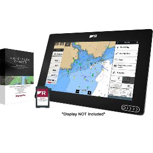
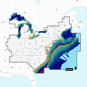
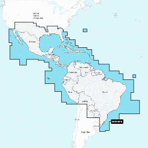
Navionics
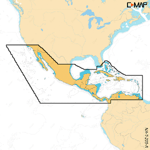
Navionics NASA004L - Mexico, Caribbean to Brazil - Navionics+
MPN: 010-C1364-30
$169.99
In Stock
Navionics
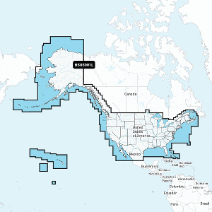
Navionics NAUS001L - U.S. & Coastal Canada - Navionics+
MPN: 010-C1366-30
$169.99
In Stock
C-MAP
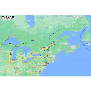
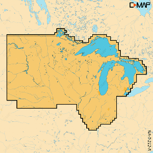
C-MAP M-NA-Y201-MS Great Lakes To Nova Scotia REVEAL™ Coastal Chart
MPN: M-NA-Y201-MS
$221.00
In Stock
C-MAP
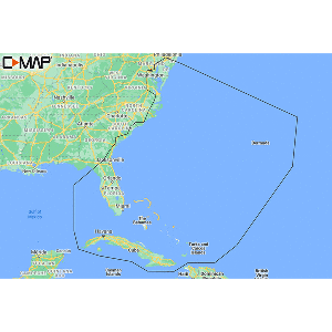
C-MAP M-NA-Y203-MS Chesapeake Bay to Bahamas REVEAL™ Coastal Chart
MPN: M-NA-Y203-MS
$221.00
In Stock
C-MAP
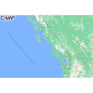
C-MAP M-NA-Y207-MS Columbia & Puget Sound REVEAL™ Coastal Chart
MPN: M-NA-Y207-MS
$221.00
In Stock
C-MAP
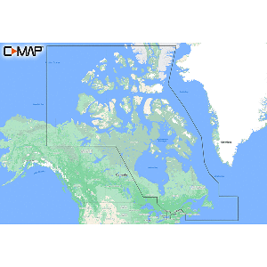
C-MAP M-NA-Y209-MS Canada North & East REVEAL™ Coastal Chart
MPN: M-NA-Y209-MS
$221.00
In Stock
More from Navionics
View AllNavionics
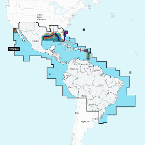
Navionics NASA004L - Mexico, Caribbean to Brazil - Navionics+
MPN: 010-C1364-30
$169.99
In Stock
Navionics
Navionics NAUS001L - U.S. & Coastal Canada - Navionics+
MPN: 010-C1366-30
$169.99
In Stock
Navionics
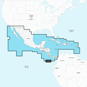
Navionics Platinum+ NPSA010R - Central America & Caribbean
MPN: 010-C1459-40
$212.49
In Stock
Navionics
Navionics NASA010R - Central America & Caribbean - Navionics+
MPN: 010-C1459-30
$127.49
In Stock
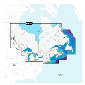
Navionics
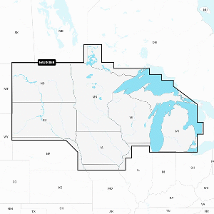
Navionics Platinum+ NPUS012R - Canada, East & Great Lakes
MPN: 010-C1466-40
$212.49
In Stock
Related Products
Navionics
Navionics Platinum+ NPSA010R - Central America & Caribbean
MPN: 010-C1459-40
$212.49
In Stock
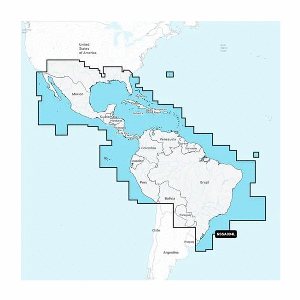
Garmin
Garmin Navionics+™ NSSA004L - Mexico, the Caribbean to Brazil - Inland & Coastal Marine Chart
MPN: 010-C1285-20
$169.99
In Stock
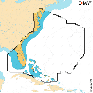
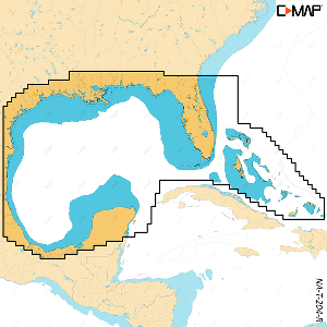
Navionics
Navionics NAUS001L - U.S. & Coastal Canada - Navionics+
MPN: 010-C1366-30
$169.99
In Stock
Navionics
Navionics NASA004L - Mexico, Caribbean to Brazil - Navionics+
MPN: 010-C1364-30
$169.99
In Stock
Customers Also Viewed
Garmin
Garmin Navionics+™ NSSA004L - Mexico, the Caribbean to Brazil - Inland & Coastal Marine Chart
MPN: 010-C1285-20
$169.99
In Stock
Navionics
Navionics NAUS001L - U.S. & Coastal Canada - Navionics+
MPN: 010-C1366-30
$169.99
In Stock
Navionics
Navionics NASA004L - Mexico, Caribbean to Brazil - Navionics+
MPN: 010-C1364-30
$169.99
In Stock
Frequently Asked Questions
Price
$212.49