

Garmin
Garmin Navionics+ NSAF630L - Africa & Middle East - Marine Chart
Out of StockNewSKU: 010-C1228-20
$212.49$249.99per unit
1
Secure Checkout
Shipping Available
Returns Available
This item is currently out of stock.
Special order from Garmin — Estimated 2–3 weeks.
Description
Navionics+ NSAF630L - Africa & Middle East - Marine Chart
Get the world’s No. 1 choice in the marine mapping with the best, most up-to-date Navionics®+ cartography on your compatible chartplotter.
Featuring vibrant colors, a streamlined interface and combined coastal/inland content with a popular Navionics® style color palette, Garmin Navionics+ cartography makes it easy to plot your course. Multiple shading options aid in shallow water navigation and make it easy to highlight a target depth range for the best fishing spots. Fully customizable with various chart layers, overlay combinations and up to 10 color-shaded target depth ranges to scope out the best fishing spots.
When you purchase a new Garmin Navionics+ or Garmin Navionics Vision+ cartography product, a one-year subscription is included.
Chart Code - NSAF630L
Coverage Area:
Coastal coverage of the coast of Africa from Tripoli, Libya thru the Red Sea and around the Cape to Dakar, Senegal including the Suez Canal and the Levant, the coast of the Arabian Peninsula, the Persian Gulf, Madagascar, Socotra, Zanzibar, Reunion, Mauritius, the Seychelles, the Comoros, the Prince Edward Islands, Tristan de Cunha, St Helena Island, Ascension Island, the Cape Verde Islands, Malta and Cyprus. Coverage of ports such as Alexandria, Egypt; Djibouti; Manama, Bahrain; Dubai; Cape Town, South Africa and Lagos, Nigeria are included.
Features:
- All-in-one Map Solution - Access detail-rich mapping of coastal features, lakes, rivers and more. Integrated Garmin and Navionics® content offers coverage for boaters worldwide.
- Daily Chart Updates - Charts are constantly being enhanced with new and amended content — as many as 5,000 updates are made every day. The one-year included subscription gives you access to daily chart updates via the
Accessories
No accessories listed for this product.
Specifications
| SKU | 010-C1228-20 |
| UPC | — |
| Brand | Garmin |
| Category | Cartography |
| Country of Origin | UNITED STATES |
| Weight | — |
| Dimensions | — |
| Status | Active |
| Last Synced | 10/10/2026, 2:07:56 AM |
Compliance & Shipping
Returnable
Product Literature
Customer Reviews
0.0
0 reviews
5
0
4
0
3
0
2
0
1
0
Only customers who purchased this item can write a review.
No reviews yet. Purchased this item? Be the first to review it.
Frequently Bought Together
Total for 4 items:
$637.46
Compare Key Features
| Feature | 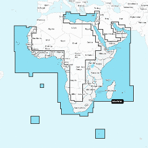 Garmin Navionics+ NSAF630L - Africa & Middle East - Marine Chart CURRENT |  Garmin Navionics+™ NSSA012R Brazil |  Garmin Navionics+™ NSSA004L - Mexico, the Caribbean to Brazil - Inland & Coastal Marine Chart | 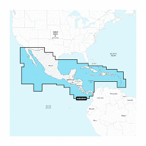 Garmin Navionics+™ NSSA010R Central America & Caribbean | 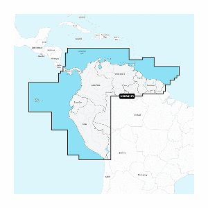 Garmin Navionics+™ NSSA011R South America (North) |
|---|---|---|---|---|---|
| Price | $212.49 | $127.49 | $169.99 | $127.49 | $127.49 |
| Brand | Garmin | Garmin | Garmin | Garmin | Garmin |
| Condition | New | New | New | New | New |
| Availability | Out of Stock | In Stock | In Stock | In Stock | Out of Stock |
| Weight | — | 0.17 | 0.17 | 0.17 | 0.8 |
| Dimensions | — | 6 x 4 x 1 | 6 x 4 x 1 | 6 x 4 x 1 | 6 x 5 x 1 |
| SKU | 010-C1228-20 | 010-C1453-20 | 010-C1285-20 | 010-C1451-20 | 010-C1452-20 |
| Country | UNITED STATES | UNITED STATES | UNITED STATES | UNITED STATES | UNITED STATES |
| View Item | View Item | View Item | View Item | View Item |
You Might Also Need
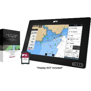
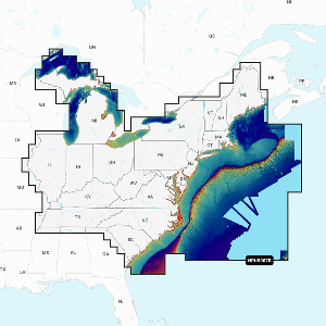
Navionics
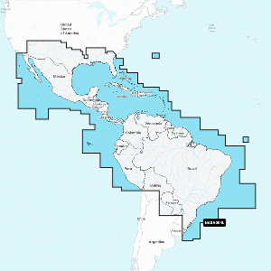
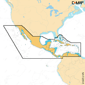
Navionics NASA004L - Mexico, Caribbean to Brazil - Navionics+
MPN: 010-C1364-30
$169.99
In Stock
Navionics
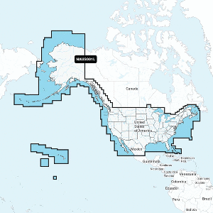
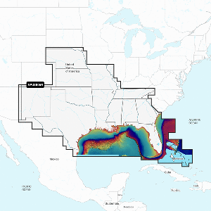
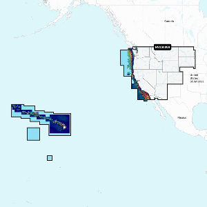
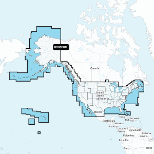
Navionics NAUS001L - U.S. & Coastal Canada - Navionics+
MPN: 010-C1366-30
$169.99
In Stock
C-MAP
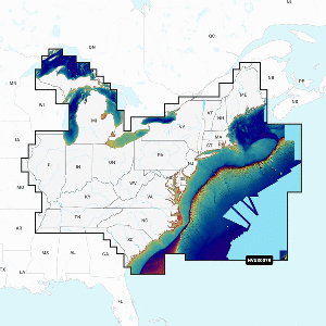
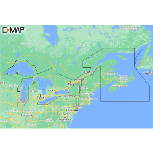
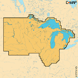
C-MAP M-NA-Y201-MS Great Lakes To Nova Scotia REVEAL™ Coastal Chart
MPN: M-NA-Y201-MS
$221.00
In Stock
C-MAP
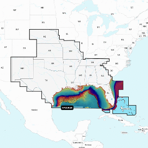
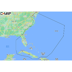
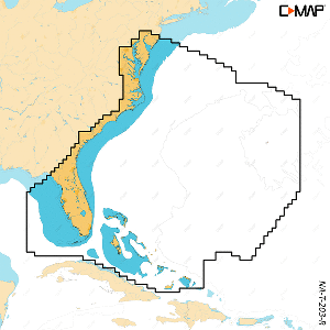
C-MAP M-NA-Y203-MS Chesapeake Bay to Bahamas REVEAL™ Coastal Chart
MPN: M-NA-Y203-MS
$221.00
In Stock
C-MAP
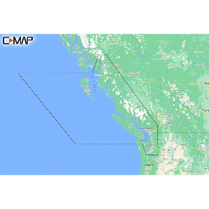
C-MAP M-NA-Y207-MS Columbia & Puget Sound REVEAL™ Coastal Chart
MPN: M-NA-Y207-MS
$221.00
In Stock
C-MAP
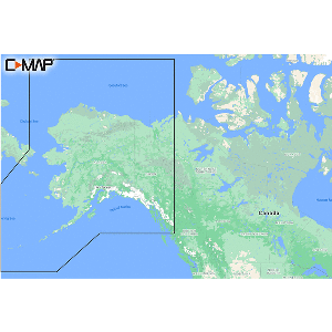
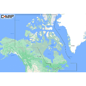
C-MAP M-NA-Y209-MS Canada North & East REVEAL™ Coastal Chart
MPN: M-NA-Y209-MS
$221.00
In Stock
More from Garmin
View All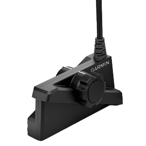
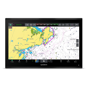
Garmin
Garmin GPSMAP® 9224 24" Premium Chartplotter w/Garmin Navionics+
MPN: 010-02675-01
$11644.99
In Stock
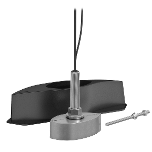
Garmin
Garmin Panoptix™ PS70 Thru-Hull Transducer w/Fairing Block
MPN: 010-02768-00
$4334.99
In Stock
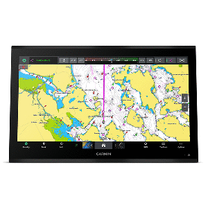
Garmin
Garmin GPSMAP® 9227 27" Premium Chartplotter w/Garmin Navionics+
MPN: 010-02676-01
$14619.99
In Stock
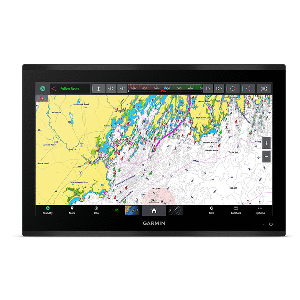
Garmin
Garmin GPSMAP® 9222 22" Premium Chartplotter w/Garmin Navionics+
MPN: 010-02674-01
$9944.99
In Stock


Related Products
Garmin
Garmin Navionics+™ NSSA004L - Mexico, the Caribbean to Brazil - Inland & Coastal Marine Chart
MPN: 010-C1285-20
$169.99
In Stock
Garmin
Garmin Navionics+™ NSSA010R Central America & Caribbean
MPN: 010-C1451-20
$127.49
In Stock
Navionics
Navionics NASA004L - Mexico, Caribbean to Brazil - Navionics+
MPN: 010-C1364-30
$169.99
In Stock
Navionics
Navionics NAUS001L - U.S. & Coastal Canada - Navionics+
MPN: 010-C1366-30
$169.99
In Stock
Customers Also Viewed
Garmin
Garmin Navionics+™ NSSA004L - Mexico, the Caribbean to Brazil - Inland & Coastal Marine Chart
MPN: 010-C1285-20
$169.99
In Stock
Navionics
Navionics NAUS001L - U.S. & Coastal Canada - Navionics+
MPN: 010-C1366-30
$169.99
In Stock
Navionics
Navionics NASA004L - Mexico, Caribbean to Brazil - Navionics+
MPN: 010-C1364-30
$169.99
In Stock
Frequently Asked Questions
Price
$212.49